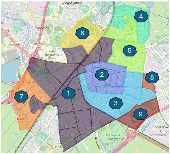
How do you build a meaningful spatial clustering analysis?
In this blog, I demonstrate how the SKATER node in the KNIME Geospatial Analytics Extension can be used to identify neighbourhood types based on housing, demographic and socio-economic characteristics. Rather than starting with the data, the workflow starts with a business question, followed by selecting factors, choosing representative variables, checking correlations and interpreting the resulting clusters. Finally, I show how the identified neighbourhood types can support targeted sustainability strategies. The complete workflow is available on the KNIME Hub.
https://flowcraftanalytics.nl/blogs/from-spatial-clusters-to-sustainability-strategies/